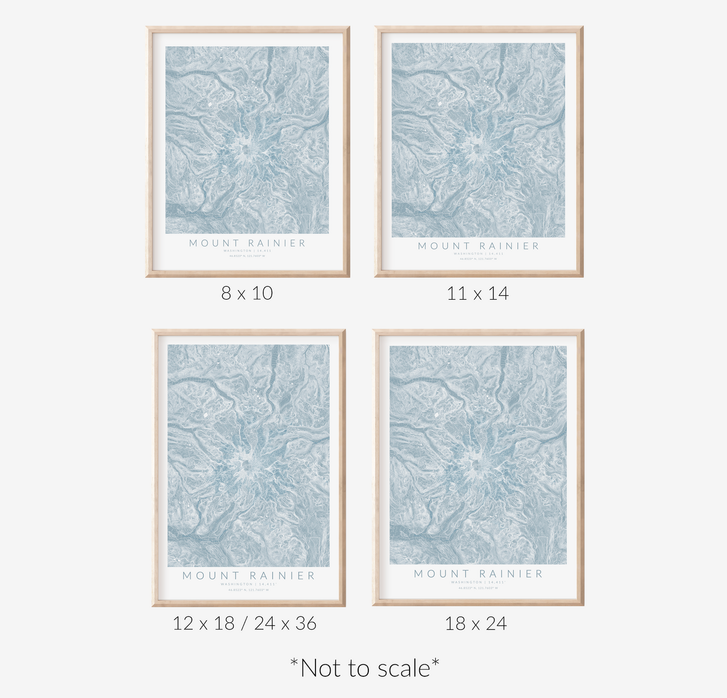
Mount Rainier Map Print
Mount Rainier Map Print
Couldn't load pickup availability
Size Chart
Size Chart

Material & Framing
Material & Framing
Prints:
- Matte archival paper
- 10.3 mil thick
- Acid free
- Available for 12 x 18, 18 x 24, and 24 x 36 sizes
- 3 different styles: wood, white, or black
- Completed with a clear acrylic covering
- Ready-to-hang right out of the box!

Shipping & Handling
Shipping & Handling
Free shipping on all orders to the USA, Canada, and Australia. USD$15 everywhere else. Typically, orders are delivered 4 - 8 business days after purchase.
Returns & Exchanges
Returns & Exchanges
We accept returns within 14 days of delivery. Because our products are made-to-order, we only accept returns for lost/damaged items. Please email info@virtualmapco.com if there are any issues with your delivery.
Custom Maps
Custom Maps
Looking for a map of a specific location? We do custom orders for any location worldwide! Custom Maps
Capture the essence of Mount Rainier with this breathtaking elevation map. Utilizing crisp contour lines against soft blue undertones, this map beautifully illustrates the varied topography of Mount Rainier, providing a nostalgic overview for those who cherish their adventures in this stunning region. Ideal for hikers, nature enthusiasts, or anyone who appreciates the allure of Mount Rainier.
Source data ⓒ OpenStreetMap contributors available under CC BY-SA (http://www.openstreetmap.org/copyright)
Share


-

MESMERIZING TERRAIN
Derived from satellite imagery, these intricate white lines follow every bump and curve to unveil its terrain.
-

ALPINE ALLURE
Explore the topographical features that make up your favorite ski trails, hiking destinations, and more.
-

A BOLD STATEMENT
Ignite interest as you exhibit your mountain destination, putting its geography on display for everyone to admire.


